[simage=3091,200,n,left,]We had been planning a trip to the Stein Divide for several years and this year it was finally going to happen! We planned to head up to the Forest Service campground on Lilloet Lake on Thursday night to get an early start hiking up the washed out old logging road to Lizzie Lake, but the stormy weather forecast made us think again. We left early Friday morning and stopped for coffee along the way to wait out the rain. As we turned off highway 99 along Lizzie lake, we were were warned there was a landslide being cleared, and as we approached it was clear it was going to take hours to clear. This was 5 km from where we planned to park, and we were told there was another slide ahead. We stood around deciding what to do in the absence of maps, hiking guides, or Plan B.
Eventually we decided to head to Taylor Basin in the Southern Chilcotin, which Andy and I heard was a great destination. We set off for Lillooet to got some directions to the trailhead at Tourist Information. At this point we realised it was a much further drive than we thought but by now it was too late to change our plans. The drive from Lillooet along Carpenter Lake took two hours, made worse by low clearance of out hire car. We also realized that the directions to the trailhead that tourist information printed from wikipedia were rather vague. We finally arrived at what we thought was the trailhead. After stumbling round in a farm for a while, we realised this was not the trailhead, so it was back in the car and off to the real trailhead. A map would be handy and that hiking directions were also not accurate. Having taken every wrong turn possible, by 5.30 pm we thought we might be on the correct trail to Taylor Basin. The light grew yellow and the shadows longer as we pushed on up the valley. We were beginning to contemplate hiking by torchlight and/or pitching tents on the path. Suddenly the trees cleared, we saw campfire smoke across the basin and were very happy to arrive at Taylor Cabin.
The people at the cabin very kindly gave us their map and I promised to mail it back to them after our trip. The cabin was rustic and cute but needs a good clean, it would be good as an emergency shelter but our tent looked more appealing! We investigated the outhouse which appeared to involve doing your business onto a pile and covering it up with soil. John was brave enough to check if it really was composting!
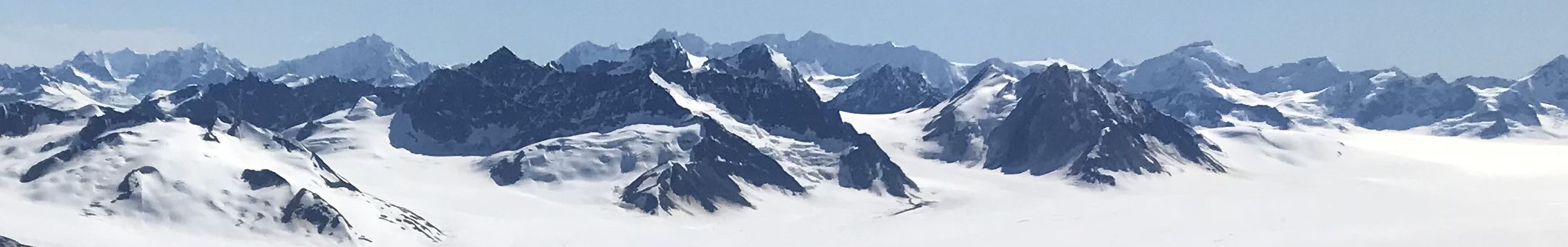
The next day we used our newly acquired map to plan a ridge walk from Nea Peak towards Windy Gap (14 km, 1200 m elevation gain/loss). The weather was fantastic, and the views across the Southern Chilcotin to the Bendor and Schulaps ranges were amazing. Windy Gap was indeed windy, and we enjoyed a more sheltered walk back to the tents in the alpine on the valley floor.
On day two we went off over Camel Pass, then headed over to a range of un-named summits that overlooked Carpenter Lake and the valley that runs for 100 km between Lillooet and Goldbridge (18 km, 1500 m elevation gain/loss). The weather was beginning to turn as we hiked back to the tents through the alpine for our last night in the camp. Another couple arrived at Taylor Cabin, who had also been planning the Stein and had to cancel because of the landslide. They also didn’t have a map, so we passed on “our” map, and made them promise to send it back to the owners. Hopefully they will or our map karma will be ruined!
We hiked out the next morning (10 lm, 600 m elevation loss) with some rain and made the long drive back to Vancouver, with the usual stop at Howe Sound Brewing for beer and comfort food. We highly recommend the Southern Chilcotin, but you need four days minimum and the huge number of trails mean you could easily spend longer there.
[salbumphotos=106,64,6,n,n,picasa_order,center,]