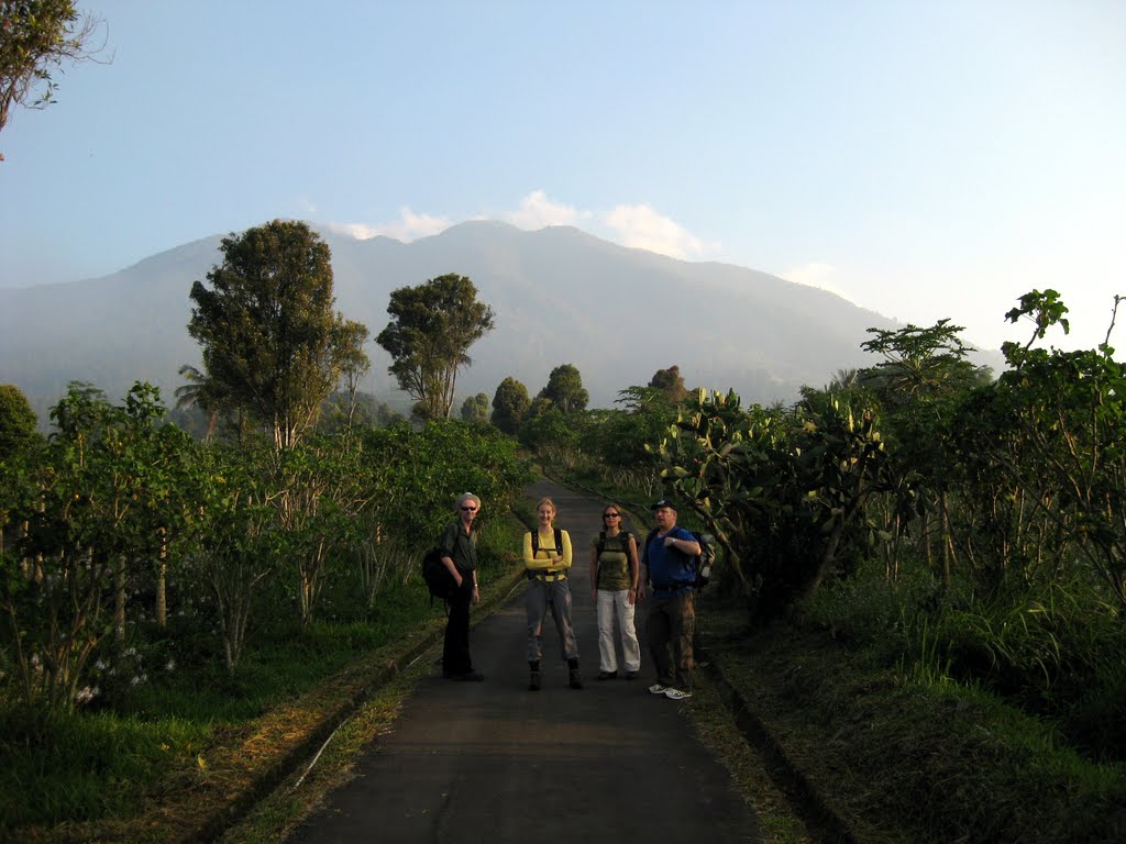
 We took advantage of a “bonus” national holiday for the Indonesian Presidential election to finally climb Gunung Salak. We hiked with Karen and Michael and Dan (who had braved the economy train from Jakarta to Bogor). It was a great idea because we did not see anyone on the trail or the summit all day.
Salak is an interesting mountain, with no less than 7 summits. Of course we wanted to climb the highest, so we need to climb from Cicurug on the south side of Salak. We set of by car from home at 5 am and after a few wrong turns on the small roads that lead up the agriculture station near Cimolati (800 m).
The hike starts through a really nice farming landscape, with fruit trees, multiple crops, a strange collection of cacti. Soon we were in some small plantations and then climbing up through more natural forest. The trail is good, clear and pretty much the same steep incline all the way. The forest gets better as you go higher as you might expect. Lots of butterflies, bird calls, and a sighting by Andy and Dan of a badger like mammal – confirmed as the endemic Javan ferret badger (usually sighted by our friends using a can of cat food to attract the beast).
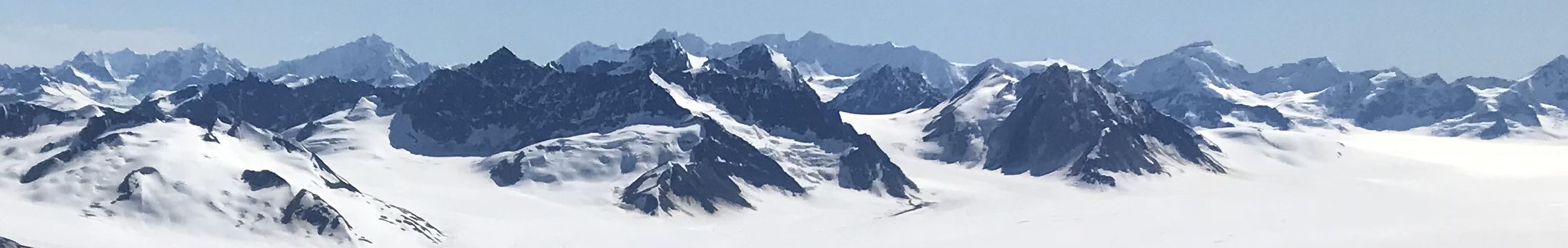
We reached the forested summit (2210 m) after a steady 4 hours, and managed a quick view of Gunung Gede before the clouds covered it. We also got decent views of other Salak summits and down to the crater. After an hour having lunch we decided it was time head back down to reality.
The decent was slow, but not nearly as bad as Gunung Lawu You wouldn’t want to come down in a thunder storm, since the trail would become a raging stream. Dan was descending fast, we were steady, and lets’s just say Karen and Michael were a little slow. We almost lost them since they took a short wrong turn. Luckily they were within cell phone range and we manage to cofirm the right trail.
It was really great to escape to the “wilderness” on a weekday, so close to Jakarta-Bogor. To those who say it is not worth climbing Salak because it has a forested summit, we say “rubbish!”
Route tracks in Google Earth format. Google Photos Album!
Follow me!