Japan and the Tokyo Marathon

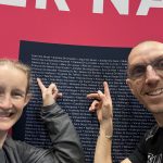
Our long awaited trip to Japan to run the Tokyo Marathon. It was nice surprise at the expo to be given our 2020 medal – and Japan in general was a wonderful place to travel.
Our long awaited trip to Japan to run the Tokyo Marathon. It was nice surprise at the expo to be given our 2020 medal – and Japan in general was a wonderful place to travel.
The soundtrack to our New York City Marathon was LCD Sound System (New York I love you, but you’re bringing me down). But we had a great time apart from the marathon!
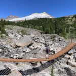
We headed down to to the south side of Mount Baker for a weekend camping. Instead of two day hikes on similar trails we decided to jam them all in one trail run.
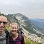
For the BC Day August long weekend we once again headed south to the Cascades. The destination Glacier Peak Wilderness via Lost Creek Ridge
Follow me!